In the past year, I managed to read 40 books. Being retired from paid employment, I have the time as well as the desire to travel in my mind to places I haven’t been before, or to explore familiar topics in more detail. I’m a plodding reader, so I need to put in extra time to read this many books. That also means I need to be choosy about what I read—no airport crime thrillers on my list! I was also a lazy student as a kid and an undisciplined reader for many years as an adult, so I’m also playing catch up by reading books that I assume every literate person has already read.
National Review’s founder William F. Buckley Jr. didn’t get around to reading Herman Melville’s Moby Dick until he was 50 years old. After finishing the book, he reportedly told his friends, “To think I might have died without having read it.” One of my goals in retirement is to read as many of those kinds of books as possible before God calls me home.
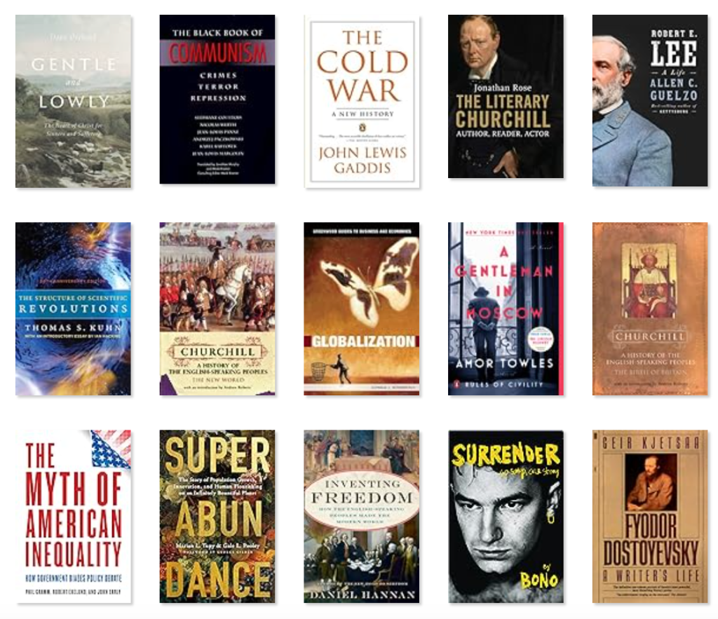
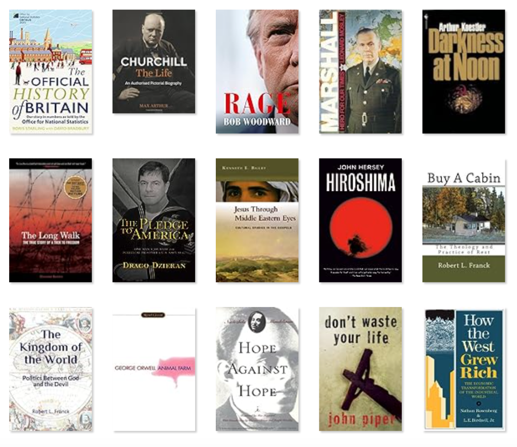
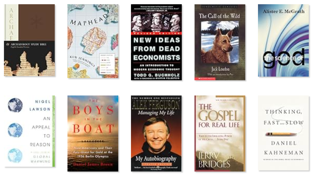
I’ll attach a full list below of the books I read last year, but among my favorites were:
The Boys in the Boat: Nine Americans and Their Epic Quest for Gold at the 1936 Berlin Olympics by Daniel James Brown. This was a great personal story about young men growing up in the Northwest in a time of the Great Depression and the rise of the Nazi regime in Germany. It was also a story about the highest form of training and teamwork.
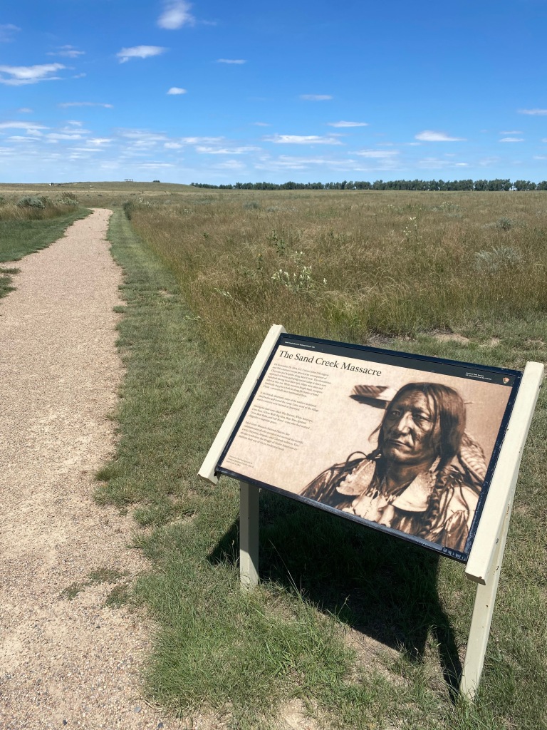
Hope Against Hope by Nadezhda Mandelstam. A friend in college first brought this book to my attention, and now more than 40 years later I finally got around to reading it, and I’m so glad I did. It’s a moving personal story of a literary couple whose life together was destroyed by Stalin’s purges of the 1930s. The Soviet system turned these peaceful, generous, cultured people into hunted animals. Along the way, I met people who showed courage and kindness in helping them survive, including Boris Pasternak. I’ll never forget the image at the end of the book of Osip Mandelstham’s naked and frozen body thrown into a mass grave outside the transit camp near Vladivostok. This is how the communist regime treated the man considered to be Russia’s greatest poet of the 20th century.
A Gentleman in Moscow by Amor Towles. A great story with lots of sympathetic characters, told against the backdrop of Stalin’s Russia.
Jesus Through Middle Eastern Eyes: Cultural Studies in the Gospels by Kenneth E. Bailey. A Christian friend has recommended this book to me for a decade or two. I’m glad I finally read it. It gave me a deeper understanding of just how radical the message of Jesus was on the role of women in society and how we should treat the poor and the outcast.
The Structure of Scientific Revolutions by Thomas S. Kuhn. Another classic that I’m glad I finally read. Science does not progress in linier fashion, but instead undergoes periodic revolutions in thinking. The book helped me see that scientists are people like the rest of us, prone to group-think and slow to embrace challenges to conventional thinking.
Books read in 2023 by category:
History and Biography (19)
The Boys in the Boat: Nine Americans and Their Epic Quest for Gold at the 1936 Berlin Olympics by Daniel James Brown
Hope Against Hope by Nadezhda Mandelstam
Fyodor Dostoyevsky: A Writer’s Life by Geir Kjetsaa
Hiroshima by John Hersey
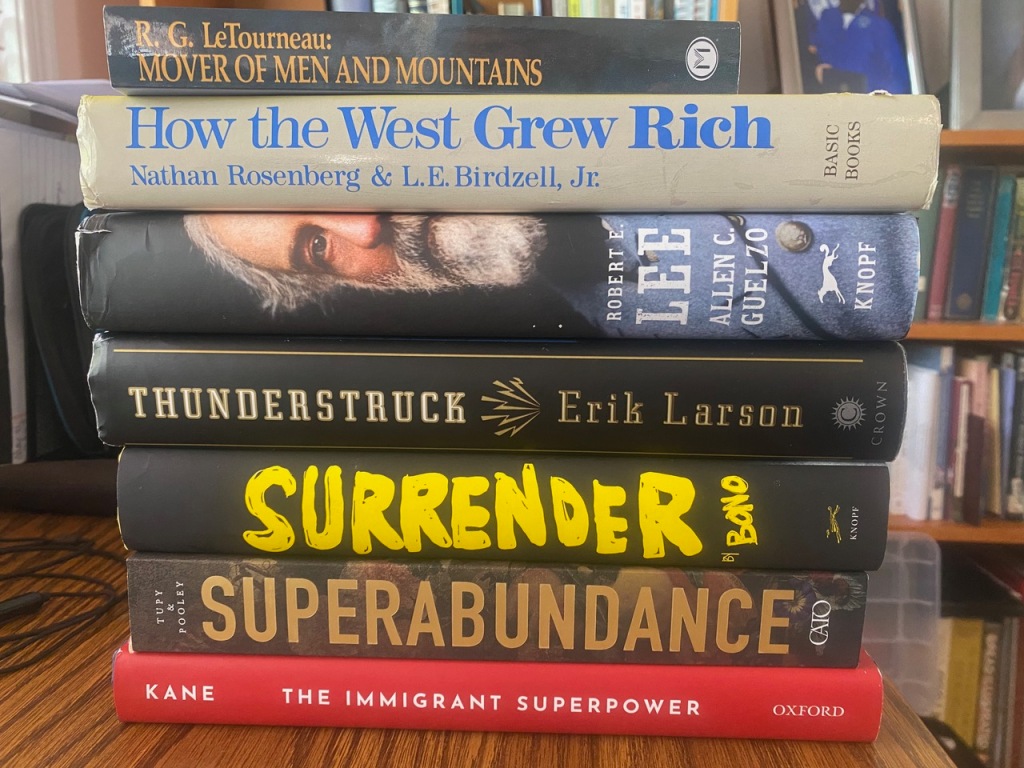
How the West Grew Rich: The Economic Transformation of The Industrial World by Nathan Rosenberg and L.E. Birdzell Jr.
The Black Book of Communism: Crimes, Terror, Repression by Stéphane Courtois, Andrzej Paczkowski and Karel Bartosek
The Cold War: A New History by John Lewis Gaddis
Managing My Life: My Autobiography by Alex Ferguson
Inventing Freedom: How the English-Speaking Peoples Made the Modern World by Daniel Hannan
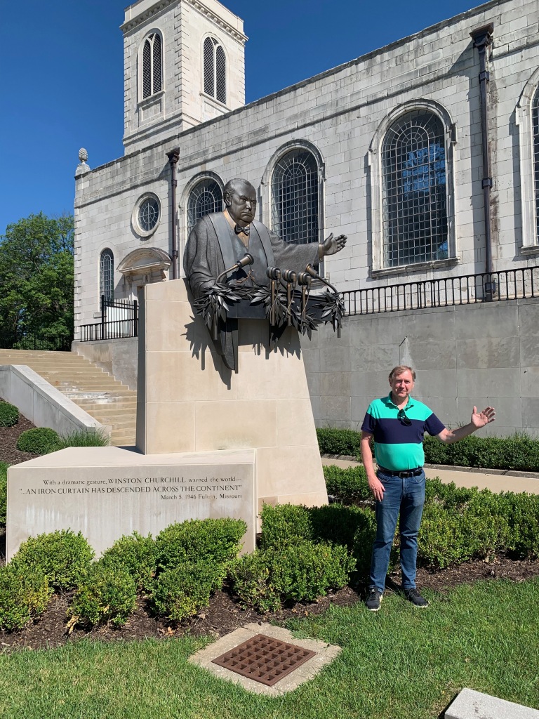
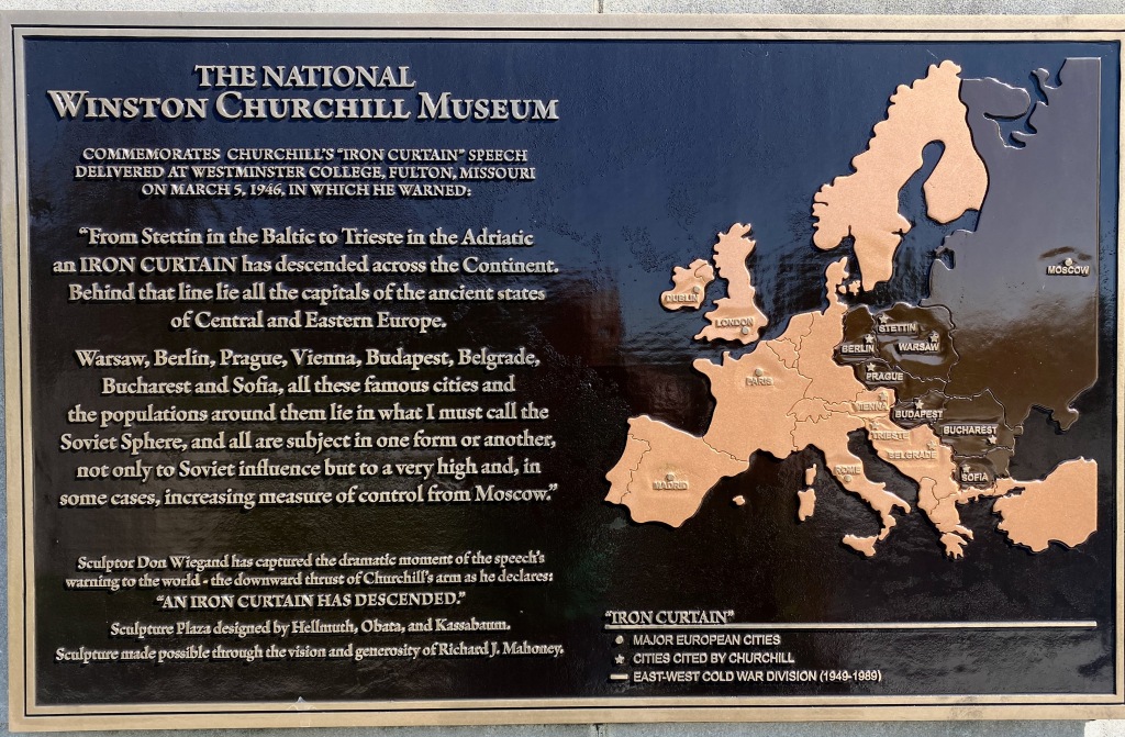
Churchill: The Life by Max Arthur
The Literary Churchill: Author, Reader, Actor by Jonathan Rose
The New World (A History of the English Speaking Peoples, #2) by Winston S. Churchill
The Birth of Britain (A History of the English Speaking Peoples, #1) by Winston S. Churchill
The Official History of Britain: Our Story in Numbers as Told by the Office for National Statistics by Boris Starling and David Bradbury
Marshall: Hero for Our Times by Leonard Mosley
The Pledge to America: One Man’s Journey from Political Prisoner to U.S. Navy SEAL by Drago Dzieran
Robert E. Lee: A Life by Allen C. Guelzo
Surrender: 40 Songs, One Story by Bono
Long Walk: The True Story of a Trek to Freedom by Sławomir Rawicz
Literature and Art (4)
A Gentleman in Moscow by Amor Towles
The Call of the Wild by Jack London
Darkness at Noon by Arthur Koestler
Animal Farm by George Orwell
Current Affairs (6)
An Appeal to Reason: A Cool Look at Global Warming by Nigel Lawson
Globalization by Donald J. Boudreaux
The Myth of American Inequality: How Government Biases Policy Debate by Phil Gramm, Robert Ekelund and John Early
Superabundance: The Story of Population Growth, Innovation, and Human Flourishing on an Infinitely Bountiful Planet by Marian L. Tupy and Gale L. Pooley
New Ideas from Dead Economists: An Introduction to Modern Economic Thought by Todd G. Buchholz
Rage by Bob Woodward
Religion (8)
ESV Archaeology Study Bible
Jesus Through Middle Eastern Eyes: Cultural Studies in the Gospels by Kenneth E. Bailey
The Gospel for Real Life: Turn to the Liberating Power of the Cross… Every Day by Jerry Bridges
Buy A Cabin: The Theology and Practice of Rest by Robert L. Franck
The Kingdom of the World: Politics Between God and the Devil by Robert L. Franck
The Science of God by Alister McGrath
Don’t Waste Your Life by John Piper
Gentle and Lowly: The Heart of Christ for Sinners and Sufferers by Dane C. Ortlund
Science (3)
The Structure of Scientific Revolutions by Thomas S. Kuhn
Thinking, Fast and Slow by Daniel Kahneman
Maphead: Charting the Wide, Weird World of Geography Wonks by Ken Jennings