Driving to my birthplace in Wisconsin, with Chicago and two national parks along the way
Elizabeth and I hit the road at the end of May for a six-day, 2,000-mile driving trip to my birth state of Wisconsin and back.
On the way out, we stayed overnight in Elkhart, Indiana, known as the “RV Capital of the World.” More than 80 percent of RVs built in the world are made in Elkhart County, so it’s the fitting home of the RV/Mobile Home Museum and Hall of Fame. As readers know, Elizabeth and I saw a lot of the United States and Canada in our 30-foot travel trailer in 2021-22. (We sold it in January.) Since we were just passing through town for the night, we weren’t able to visit the museum, but we were impressed with Elkhart’s thriving downtown and riverfront. (Two other museums we saw signs for on our trip but were not able to visit were the Sock Monkey Museum near Rockford Ill. and the Museum of Root Beer in Wisconsin Dells, Wis.!)
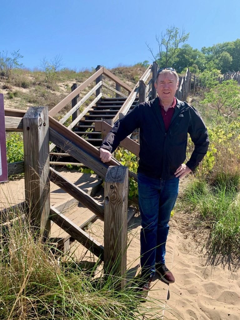
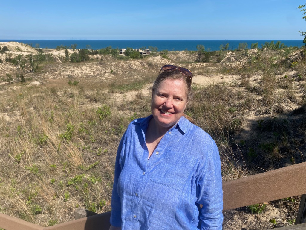
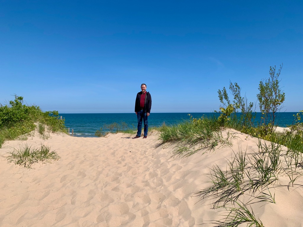
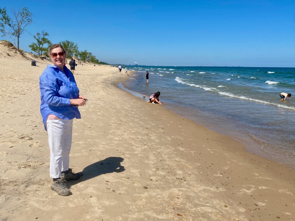
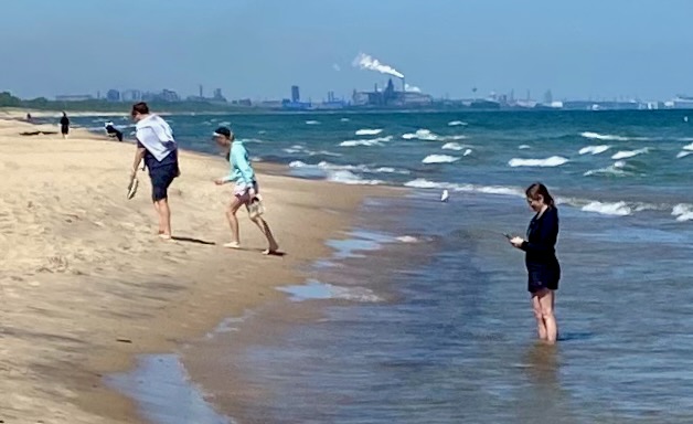
Between Elkhart and Chicago, along the shore of Lake Michigan, lies the Indiana Dunes National Park. It was only about 10 minutes off the freeway. We took the 1-mile Dune Succession Trail Loop, climbing the wooded steps that carried us over Diana’s Dune and down to the lakefront. The beach was clean and spotted with tourists willing to brave the water. The top of Lake Michigan lies 307 miles to north and the visible skyline of Chicago 28 miles to the west northwest. You can see the outlines of factories along the coast in either direction. Indiana Dunes became a national lakeshore in 1966 and a national park only in 2019 when then-President Trump signed an omnibus spending bill.
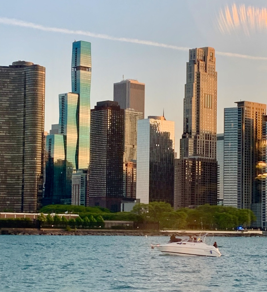
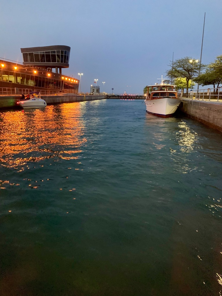
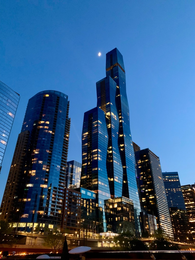
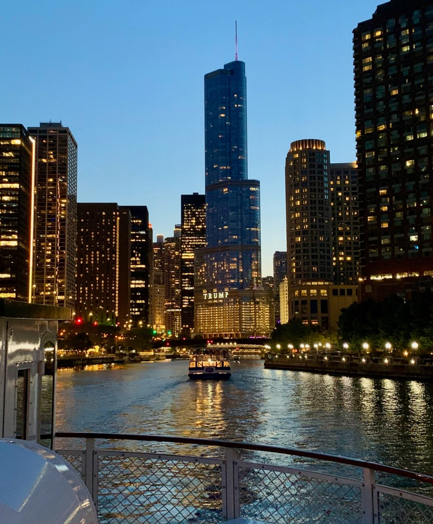
Our journey continued with an overnight stop in Chicago, a place Elizabeth had never visited. In our short time there we managed to see the Chicago Institute of Art, eat deep dish pizza at Giordanos, and cruise the Chicago River and Lake Michigan at dusk. Among the buildings we admired was the St. Regis, Chicago (formerly the Wanda Vista Tower), a 101-story, 1,198-foot-tall residential building completed in 2020 that is the tallest skyscraper in the world designed by a woman (Jeanne Gang). The curves were achieved not by bending any metal but by setting each floor a few inches off from the one below it. And we could not escape the ever-present Donald Trump, whose name adorns another tall building along the river. To pass from the river to the lake, all boats must transit a huge lock that was originally designed to keep the mucky river water from polluting the cleaner lake that was the source of the city’s drinking water. The lock is so large that several ships and boats can collect inside it before it’s raised or lowered.
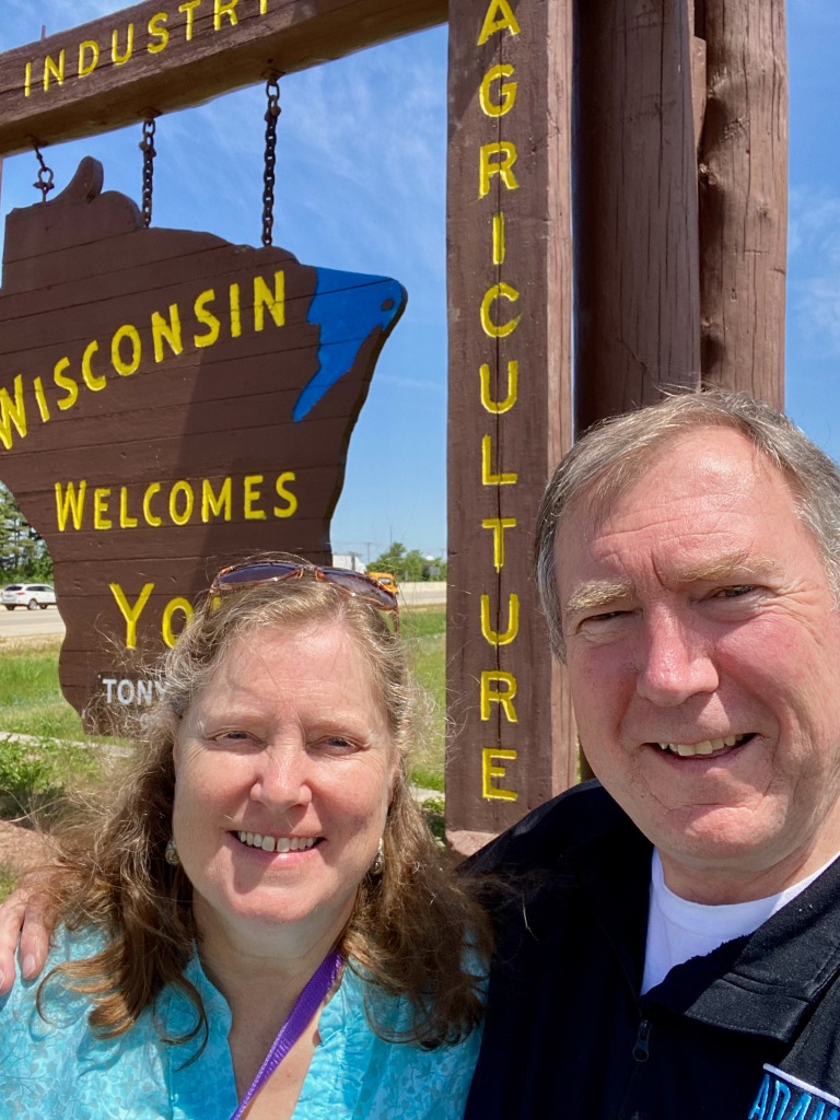
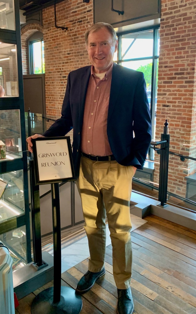
On our third day, Saturday, May 28, we reached my birthplace of La Crosse County, Wisconsin. I haven’t lived there for 45 years, but I relish the memories of growing up there and the beauty of the “Coulee Region.” We were there to attend an extended-family dinner Saturday night and a memorial service on Sunday for a second cousin of mine. He was being laid to rest in the Griswold section of Hamilton Cemetery in my hometown of West Salem. My cousin was a Navy veteran, so it was the fourth memorial I’ve attended there with the military honors of a gun salute and taps. (The other three were for my dad and two of my older brothers.) The cemetery is near where my great grandfather Henry Daniel Griswold established a dairy farm in the 1870s. The family sold the farm in the 1950s and its fertile land has since become a subdivision, with Griswold Avenue the only remaining link to the family.
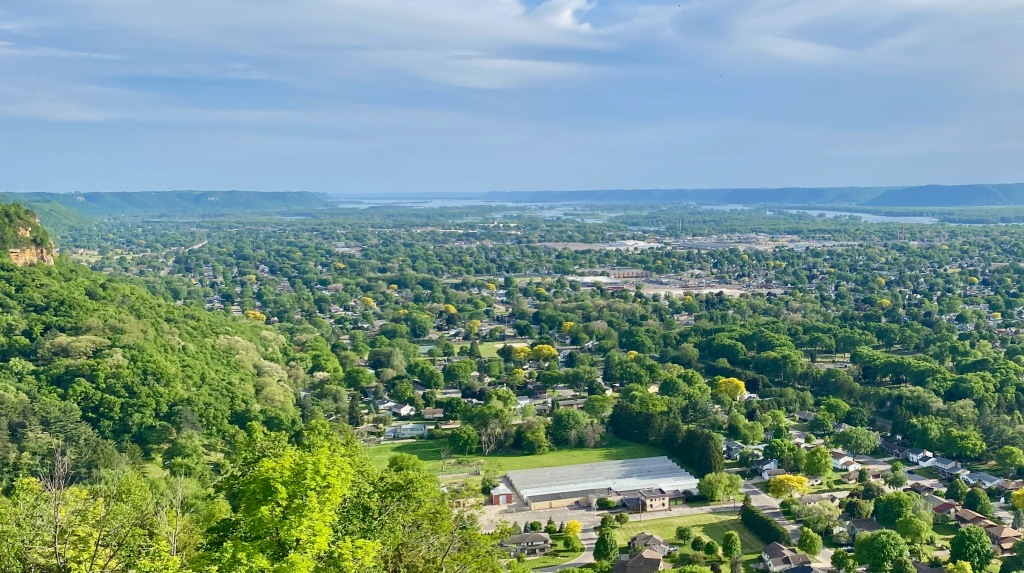
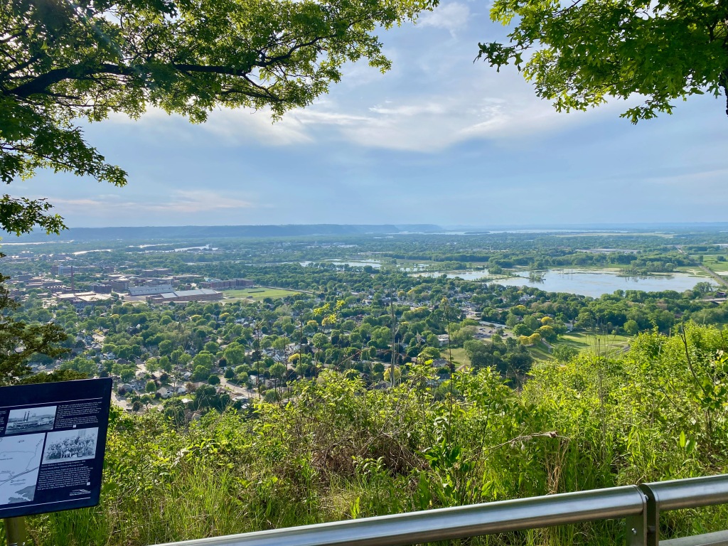
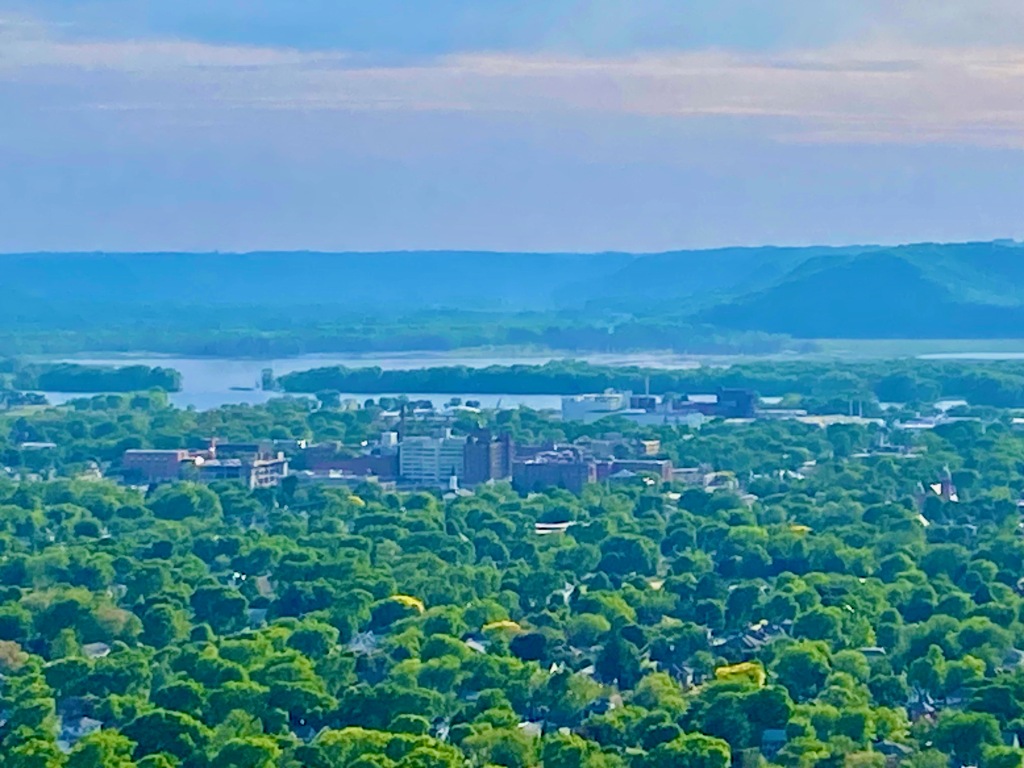
Later Sunday afternoon, Elizabeth and I drove to the top of Grandad Bluff, which stands 700 feet above La Crosse and the Mississippi River Valley. In contrast to the flat prairies of central Minnesota, where I also lived as a kid, western Wisconsin is marked by wooded hills and valleys, known as coulees. It’s called the “Driftless Area,” for reasons I should have learned as a fourth-grader at West Salem Elementary School if I had been a more diligent student! Providing remedial education was one of the display panels on Grandad Bluff that read:
THE DRIFTLESS AREA OF WISCONSIN
Casting a glance up and down the Wisconsin side of the Mississippi River Valley from Grandad Bluff, you can see a portion of the geological region called the Driftless Area. Its ridge-and-valley topography is both beautiful and distinct: there are narrow, steep valleys leading down to larger rivers, winding networks of spring fed streams, and craggy, forested bluffs punctuated with isolated remnants of oak savanna and prairie. The area measures approximately 10,000 square miles and covers much of the southwestern corner of the state. La Crosse is situated on its western edge.
The Driftless Area’s defining characteristic is that it was not covered by the thick ice sheets that advanced out of Canada numerous times over the past 2.6 million years. During the last glacial period about 30,000 years ago, the “Late Wisconsin Glaciation,” ice extended south from Canada. Diverted by the highlands of north-central Wisconsin, the ice sheets bypassed the southwestern section of the state. This created an unglaciated area which looks markedly different from the surrounding regions. Rather than having its hills smoothed over and river valleys filled with glacial sediment, or “drift,” the Driftless Area retained its rugged ridge-and-valley topography. …
Looking around from the top of Grandad Bluff, you can see an immense plateau of the Driftless Area, with numerous narrow, steep valleys carved into it over the millennia by rivers and streams. Locally, these small valleys are known as “coulees,” a term derived from the French word “couler,” to flow. This expression has given rise in recent decades to the name “Coulee Region,” describing the greater La Crosse area.
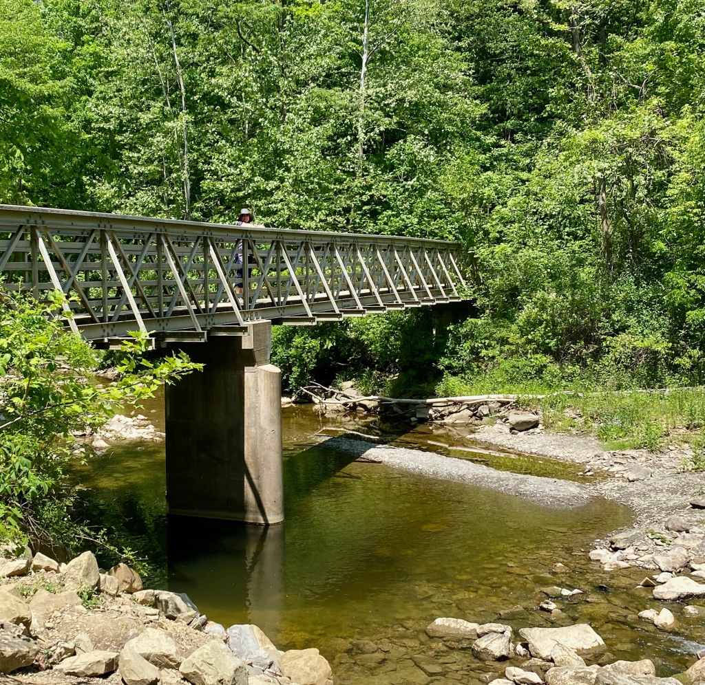
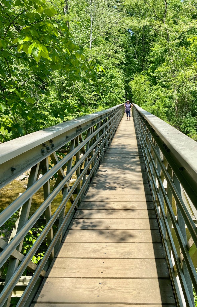
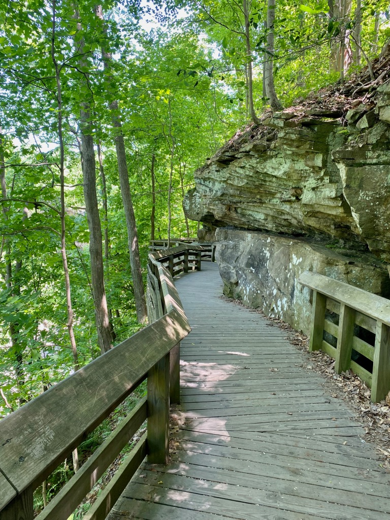
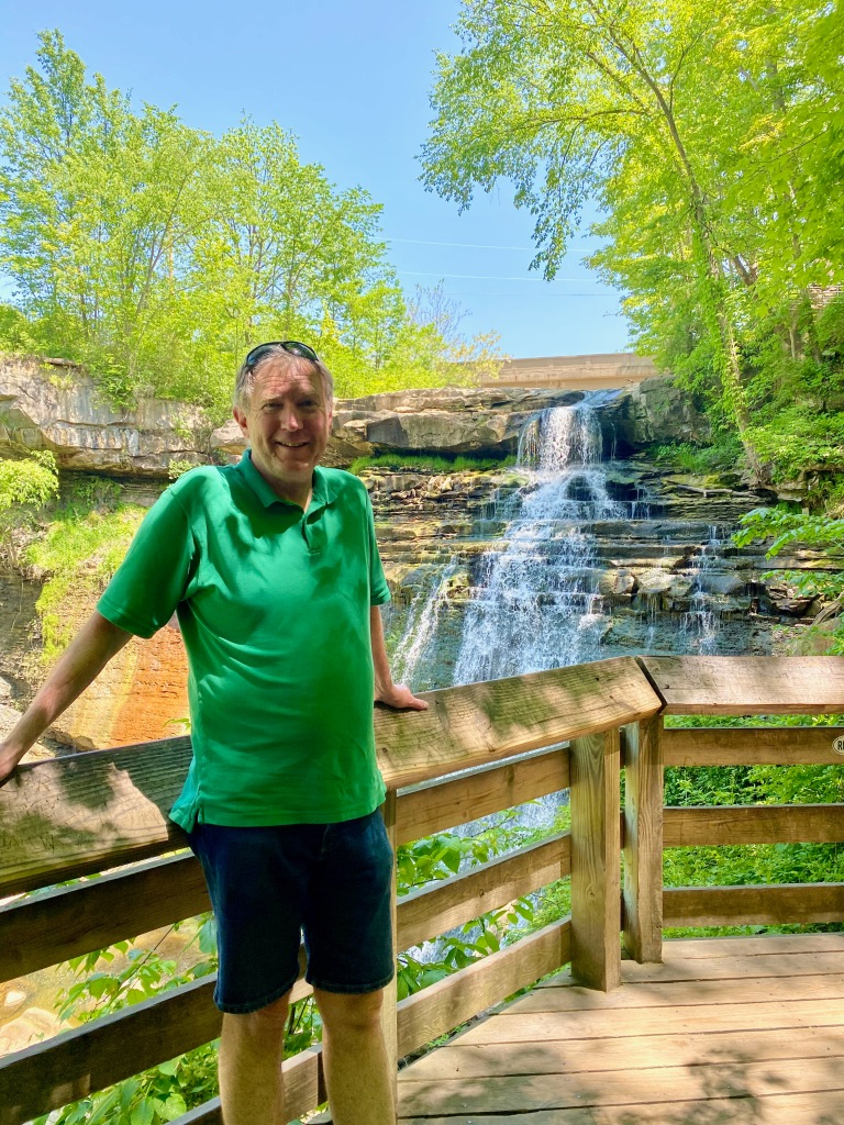
On the trip home, we stopped at another of the lesser-known national parks, Cuyahoga Valley N.P. in Ohio, south of Cleveland. We didn’t have time to visit the main area of the park, but 10 minutes off the freeway we parked at the trailhead for a 1.4-mile loop hike to Brandywine Falls. The trail taking us to the 60-foot falls descended to a bridge across Brandywine Creek and then up to a walkway that took me to an overlook of the falls. Along the way we saw ducks and a big heron in the creek. On a return trip it might be fun to ride bikes along the canal tow path that runs through the main valley. This park is also relatively new. Originally set aside as a National Recreation Area in 1974, it was redesignated a national park in 2000. Although our time was short in both Indiana Dunes and Cuyahoga Valley NPs, our spontaneous stops allowed me to check off no. 34 and no. 35 in national parks I’ve visited. Only 28 more to go!