COULEE CITY, WA – We spent a few days near this town in eastern Washington State last week exploring and enjoying a landscape that geologists came to understand only in the middle of the last century had been shaped by cataclysmic Ice Age floods thousands of years ago.
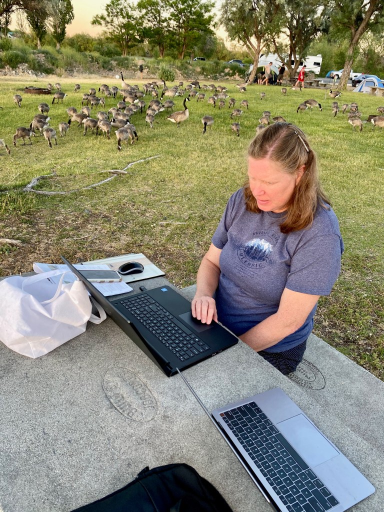
We stayed three nights at the RV campground in Dry Falls/Sun Lakes State Park, about 6 miles from Coulee City and 3 hours east of Seattle. The park was buzzing with families in tents and RVs of all sizes enjoying the waters of Park Lake. The only downside of the park was a weak cellular signal and no wi-fi, which required us to visit a park in the city, where we were joined by a large flock of geese!
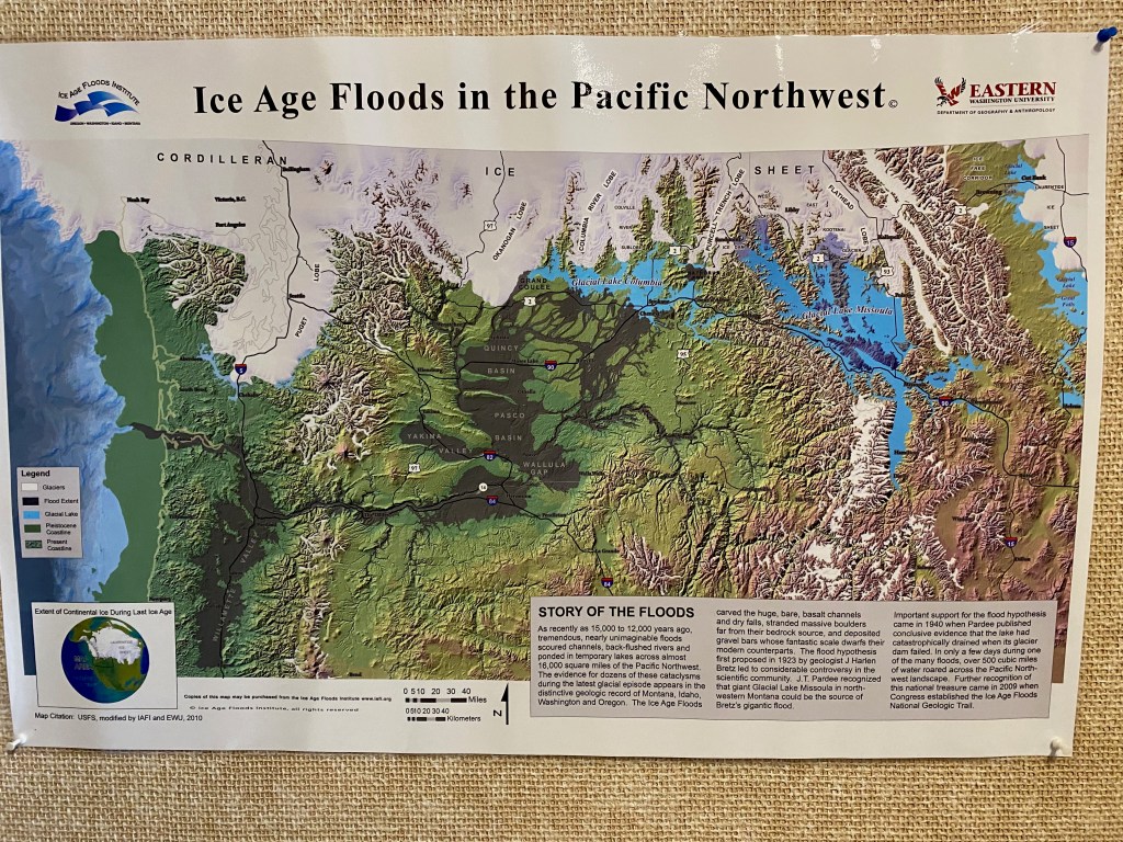
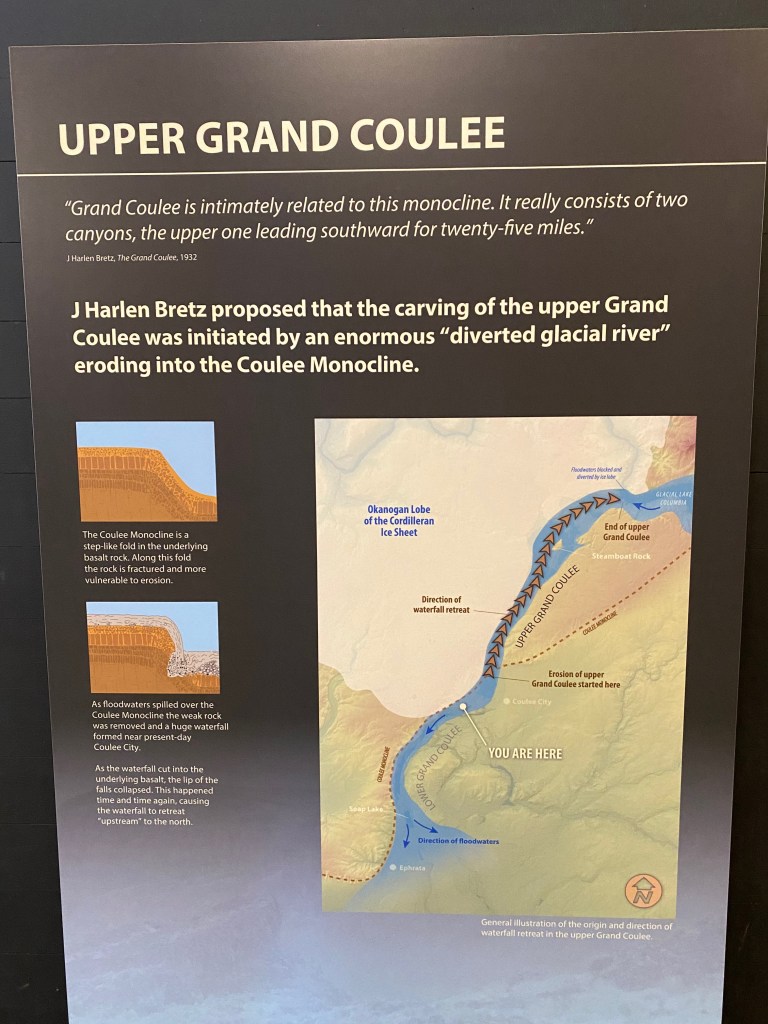
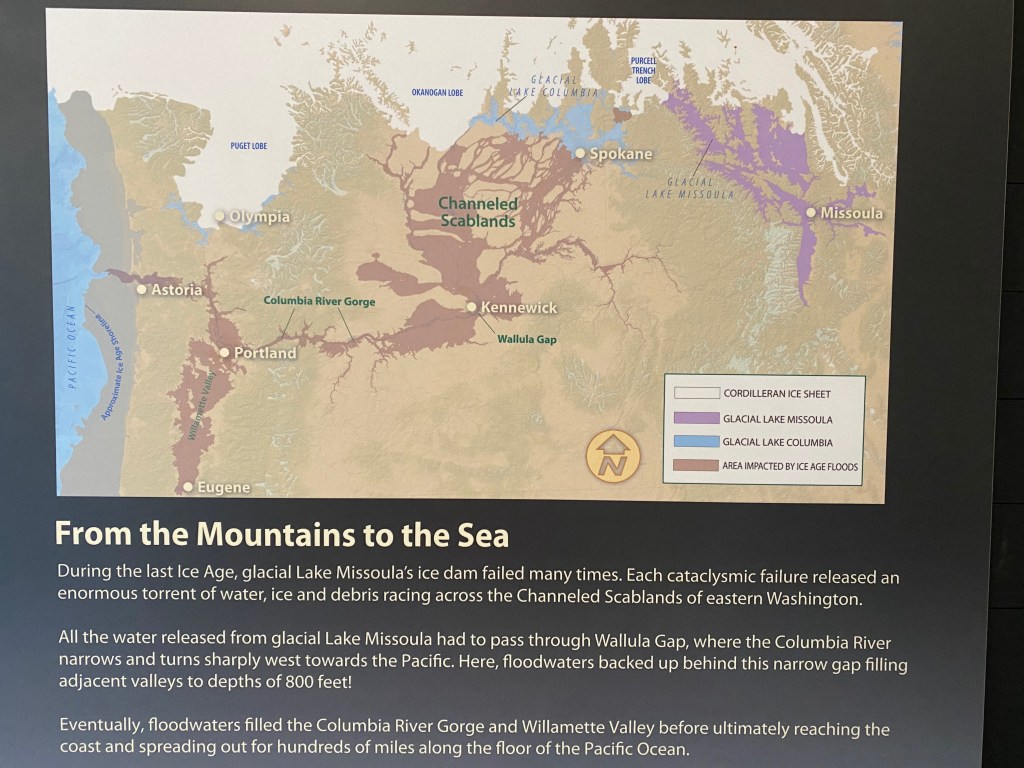
Our travels through eastern Washington have opened my eyes to the story of the massive Ice Age floods. In the early 1920s, a geologist named J. Harlen Bretz (1882-1981) began exploring the region’s strange landscape. He noticed geological features, such as deeply carved coulees, bore holes, and what he called Channeled Scabland that could only be explained by some kind of gigantic, raging flood. When Bretz published his theory, it was met with skepticism and even scorn by his fellow geologists. But he was vindicated when another geologist noted the evidence for a giant Ice Age flood originating in Montana.
During the last big ice age, from roughly 18,000 to 11,000 years ago, the Cordilleran Ice Sheet covered western Canada and the upper northwest United States. An extension of the ice sheet, the Purcell Trench Lobe, extended into northern Idaho, blocking the Clark Fork River and creating a huge reservoir of water behind it, known as Glacial Lake Missoula. The lake was as deep as 2,000 feet and at its maximum build up contained 500 cubic miles of water, half the volume of Lake Michigan.
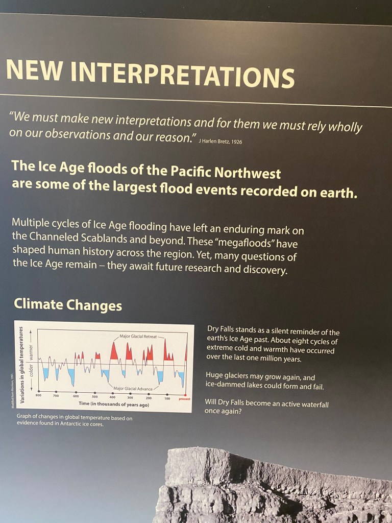
As pressure from the rising lake would build, the ice dam would give way, releasing the water in a violent torrent that would race at 60 mph across eastern Washington, through the Columbia River Gorge and into the Pacific Ocean. The entire lake would drain in two days, and the process would begin again, repeating the massive flooding 30 or 40 times over the course of the ice age.
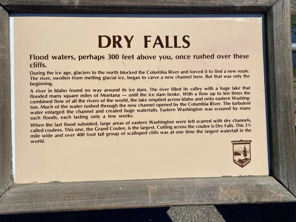
We could see the evidence of the floods first-hand. Our campground was only a short distance from Dry Falls, a 400-foot-high, 3 ½-mile long drop off that at one time was the largest waterfall in the world. Geologists estimate that the volume of water that spilled over the falls during one of the ice age floods was about 10 times the combined discharge of all the rivers in the world! Today all that is left around Coulee City are the dry walls and a string of peaceful lakes fed by the local aquifer.
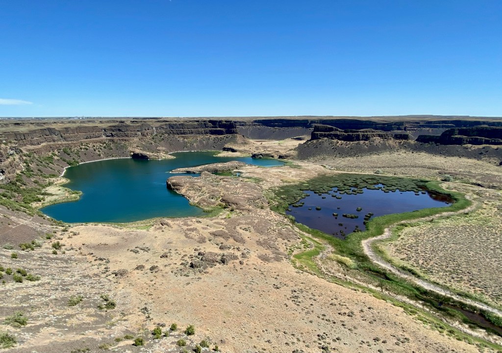
This is the view from the excellent visitors center looking out at the Dry Falls and the lakes below. 
South of our campground are the Lenore Caves, which were carved into the sides of the coulee by the Ice Age floods.
A good source of information for me was the website for the Ice Age Floods Institute. I also learned a lot from the panels at the Dry Falls Visitors Center: